Amir Werner · 10 October 2026
Underwater Drone Footage Reveals Shifting Benthic Communities Around Modernized Berthing Zones in Eastern Baltic Facilities
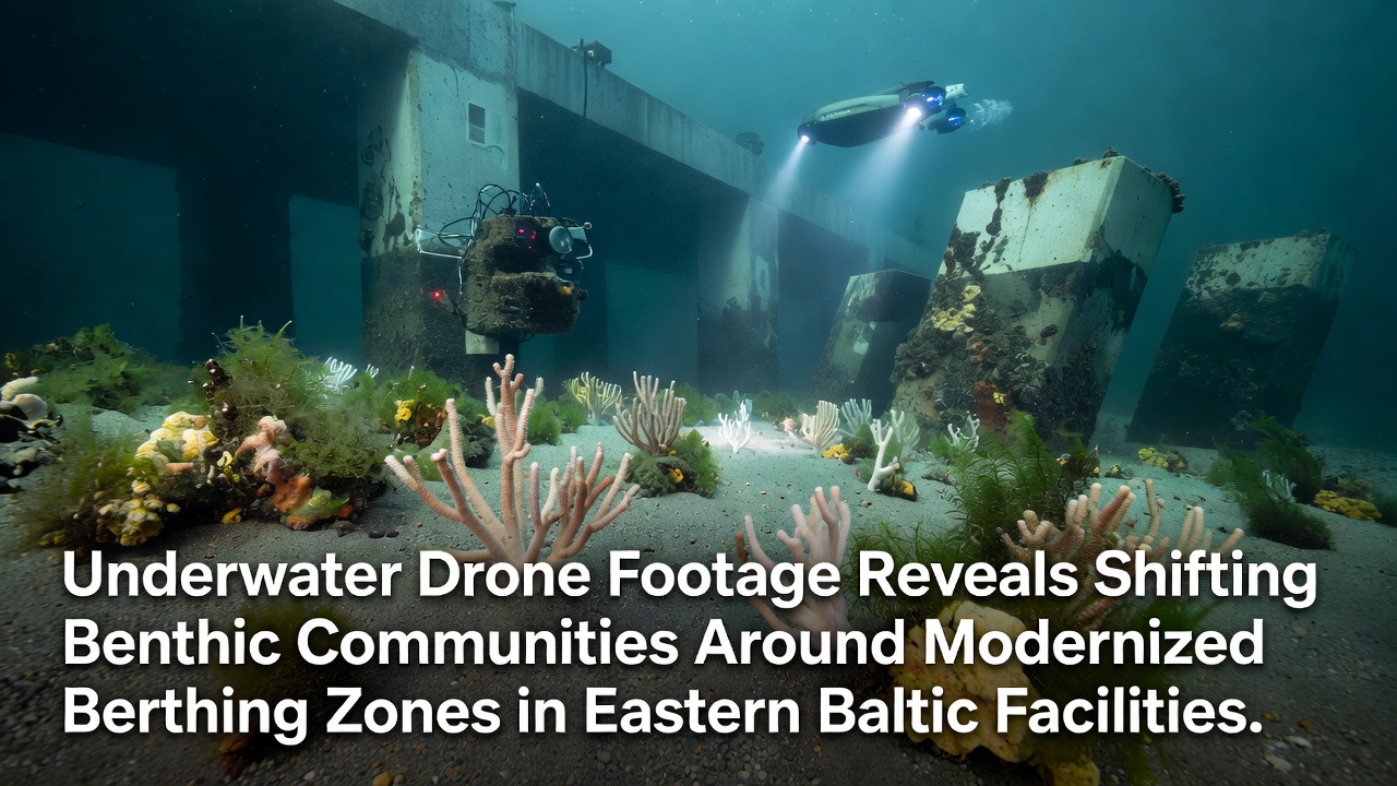
Modernized berthing zones in Eastern Baltic facilities have drawn attention from marine researchers who deploy underwater drones to document changes in benthic communities, and footage collected through October 2026 shows clear alterations in species composition and sediment structure around upgraded docks. Ports in Lithuania, Latvia, and Estonia have completed infrastructure upgrades that include deeper berths, new fender systems, and improved wastewater handling, all of which modify local water flow and substrate conditions. Drone surveys conducted at multiple sites reveal that areas previously dominated by certain polychaete worms now support higher densities of bivalves and echinoderms, while overall biomass has increased in zones where sediment disturbance has decreased.
Survey Methods and Data Collection
Teams operating remotely operated vehicles equipped with high-resolution cameras and sediment samplers gathered footage across grids extending 200 meters from berth faces, and they paired visual records with physical samples to verify species identifications. Surveys ran during calm weather windows in spring and fall, which allowed consistent lighting and reduced turbidity that could obscure details. Data processing involved machine-learning classifiers trained on Baltic Sea reference libraries, followed by manual review to confirm counts of key taxa such as Macoma balthica, Marenzelleria spp., and various amphipods. Researchers cross-referenced drone imagery with historical grab-sample records from the same coordinates, and the combined datasets indicate measurable shifts in community evenness over the past five years.
Observed Changes in Benthic Assemblages
Footage from sites near Klaipeda and Riga shows that zones with newly installed sheet-pile walls exhibit reduced fine-sediment accumulation, which correlates with lower numbers of deposit-feeding organisms and higher proportions of suspension feeders. In contrast, areas adjacent to older timber pilings retain thicker organic layers and continue to host dense aggregations of opportunistic polychaetes. One study from the Estonian Marine Institute documented a 35 percent rise in brittlestar coverage within 50 meters of modernized concrete berths, while nearby control transects outside the influence of upgraded structures showed no comparable increase. These patterns align with hydrodynamic modeling that predicts faster currents around streamlined berth designs, which in turn limit the settlement of silt and organic matter.
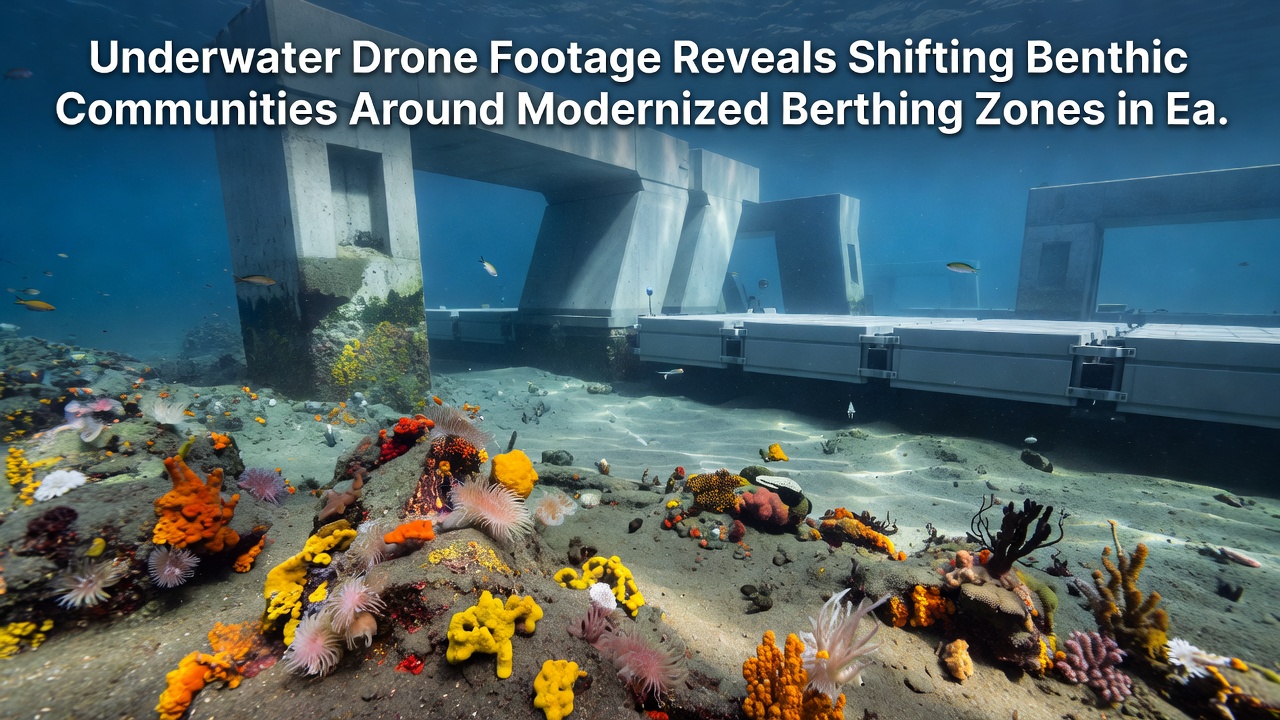
Seasonal comparisons within the same footage sets reveal that summer anoxic events still occur in deeper pockets near some facilities, yet the duration of low-oxygen periods appears shorter where new circulation channels were incorporated during modernization. Benthic recovery rates tracked through repeated drone passes suggest that recolonization by mobile species such as isopods happens within weeks after disturbance events, whereas sessile communities require multiple seasons to stabilize. Figures from the Finnish Environment Institute indicate similar trends at comparable Baltic sites, where substrate stabilization produced measurable gains in species richness within three years of infrastructure changes.
Regional Context and Monitoring Efforts
Eastern Baltic ports operate under HELCOM guidelines that encourage regular assessment of seafloor integrity, and several facilities have integrated drone programs into their routine environmental reporting. Data collected through October 2026 contributes to ongoing regional databases that track progress toward good environmental status targets. Observers note that facilities sharing standardized drone protocols achieve more comparable results across borders, which supports broader trend analysis for the entire Baltic Sea. One case at a Latvian terminal demonstrated that combining drone footage with acoustic sediment profiling reduced the need for frequent diver surveys, cutting monitoring costs while maintaining data quality.
Implications for Future Port Development
Engineers reviewing the footage consider how future berth designs might incorporate features that further limit sediment resuspension, such as angled aprons or permeable barriers. Port authorities in the region have begun sharing anonymized drone datasets through collaborative platforms, allowing planners elsewhere to model expected community responses before construction begins. Evidence from multiple facilities shows that early integration of environmental monitoring during modernization phases yields clearer before-and-after comparisons than retrospective surveys alone. Those patterns continue to inform adaptive management approaches that adjust maintenance schedules based on real-time benthic indicators rather than fixed calendars.
Conclusion
Underwater drone programs at Eastern Baltic facilities provide consistent visual and quantitative records of benthic community responses to berth modernization, and the footage accumulated through October 2026 documents measurable shifts in species distributions and sediment conditions. Continued monitoring using standardized methods will supply additional datasets that track long-term trajectories and support evidence-based decisions on port infrastructure. Regional cooperation on data sharing strengthens the ability to distinguish local modernization effects from broader Baltic Sea trends driven by climate and nutrient loads.